Showing posts with label Travels. Show all posts

Wednesday, October 10, 2012

Beijing March 2012 - Part 2

Temple of Heaven

Mar121007
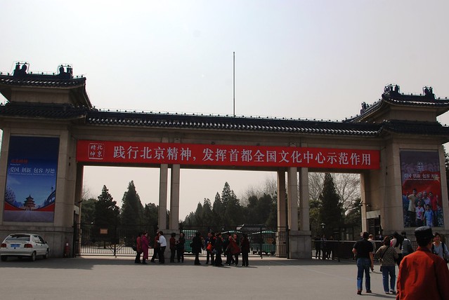
This is the entrance to the Temple of Heaven. The Temple of Heaven was built in 1420 in the Ming Dynasty. It has a total area of 273 hectares. The Temple of Heaven is not only the largest group of temple buildings in China, but also the largest heaven-worshiping architecture in the world.
When the Temple of was first built in 1420, it was called Temple of Heaven and Earth. At that time, both heaven and earth were worshiped here. But in 1530, Emperor Jiajing built the Temple of Earth in the northern part of Beijing, and then Heaven and Earth were worshiped separately. Ever since then it was renamed the Temple of Heaven.
The emperor came here on the 15th day(6th,8th,10th) of the first lunar month to pray for a good harvest. On winter solstice each year, the emperor would come here to hold a sacrificial ceremony to worship the God of Heaven. But whenever there was a drought in that year, the emperor would come here on Summer Solstice to hold a ceremony praying to Heave for rain.
However this kind of worshiping ceremony ended in 1915, In1918, the Temple of Heaven was opened to the public and turned into a park. Now this is area is called Tiantan Park.
Mar121025

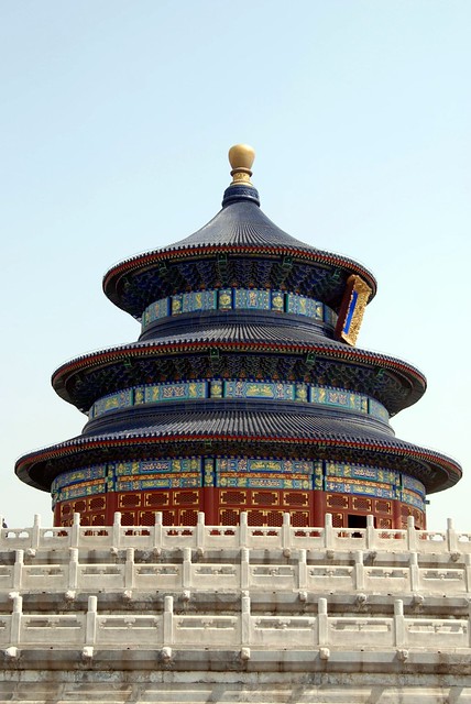
Here goes - This is the signature picture of the Temple of Heaven

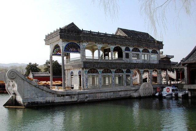
The Summer Palace

China is an interesting place to go around due to the rich ancient civilisation heritage. But what I could not stand is the sheer number of people going around the tourist places and The Summer Palace is definitely not an exception.

The Summer Palace is supposed to residential or recreation retreat of the once high and mighty Empress Tzu Hsi of the Qing Dynastry

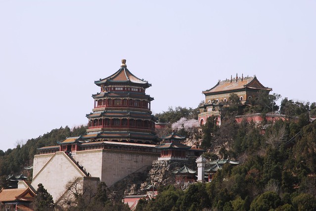
he Summer Palace is mainly dominated by Longevity Hill and theKunming Lake. It covers an expanse of 2.9 square kilometers, three quarters of which is water.
Longevity Hill is about 60 meters (200 feet) high and houses many buildings positioned in sequence. The front hill is rich in the splendid halls and pavilions, while the back hill, in sharp contrast, is quiet with natural beauty
The central Kunming Lake covering 2.2 square kilometers was entirely man made and the excavated soil was used to build Longevity Hill. In the Summer Palace, one finds a variety of palaces, gardens, and other classical-style architectural structures.
In December 1998, UNESCO included the Summer Palace on its World Heritage List. It declared the Summer Palace "a masterpiece of Chinese landscape garden design. The natural landscape of hills and open water is combined with artificial features such as pavilions, halls, palaces, temples and bridges to form a harmonious ensemble of outstanding aesthetic value." It is a popular tourist destination but also serves as a recreational park.

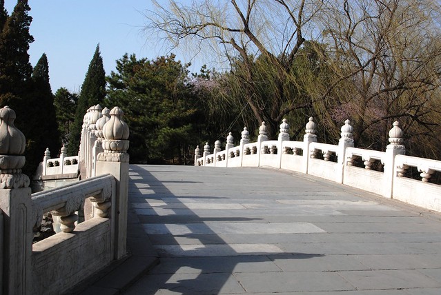
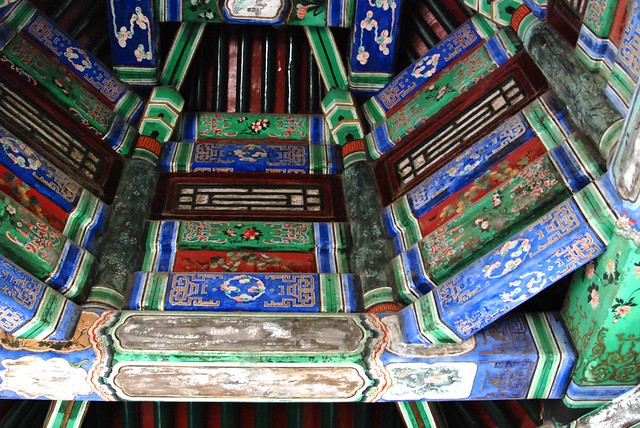
Here are some of the interesting pictures
Mar121098

Mar121128

Mar121145

Mar121052


Thursday, August 23, 2012

Beijing - March 2012 Part 1

I finally got my act together this time where I actually got a chance to move around Beijing while on business trip. Being a Chinese history buff, Beijing is indeed an interesting holiday proposition for myself. After 2 days of continuous global firm meeting in this historical city, I extended a day to see for myself this enchanted city. Hence the following itenery:

1. Tiananmen Square
2. The Forbidden City
3. Temple of Heaven
4. The Summer Palace

Of course, I must also give a brief mention of Diao Yu Tai - A place not visited by many but I actually had that privilege to catch a glimpse of this interesting building.

And also decided to pay less touristy place like Temple of Sun Palace Park to see the real Beijing.

Decided to give Great Wall a miss till the next trip. Probably need to be fiitter first before embark on the walk.

Temple of Sun Palace Park

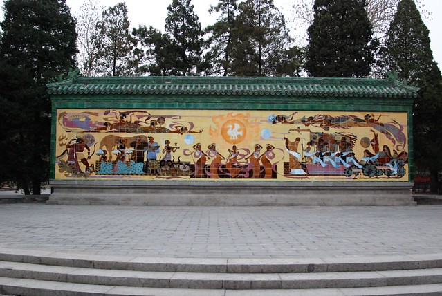
Temple of Sun Palace park, a national AAA tourist attraction and a historic site under national protection, is located on Ritan North Road, Chaoyang District, about 10 kilometers from the center of the city.

It is a spot of cultural interest in classical garden. Ritan, or Temple of Sun, was built in 1530, or the 9th year of Emperor Jiajing's reign in the Ming Dynasty. Before the People's Republic was founded, many pieces of ancient architectures had been vandalized or stolen. In 1951, the government of Beijing decided to turn it into a park. In 1956, Beijing Municipal Bureau of Parks requisitioned surrounding lands and expanded the park to 206,200 square meters, and opened it to the public.
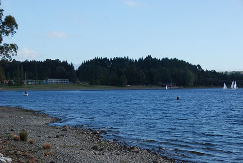
Ritan (Temple of Sun) is one of the five altars, famous historic sites in Beijing. It was the place where the Ming and Qing emperors worshipped the god of the Sun. It covers an area of 206,200 square meters, of which 124,273.36 square meters are covered by greenery, 4,700 square meters covered by water, and 10,357 square meters covered by ancient architectures.

There are 44 ancient trees in the park. In the past few years, while maintaining its cultural traits, the park has been updated with modernized facilities.

The park has completed and opened to the public a children's amusement park and a fishing area. Since 1992, it has attracted large numbers of tourists with activities that are rich in culture, such as music festivals, flower shows in the spring, morning exercises performances, and adoption of ancient trees.


Mar120068

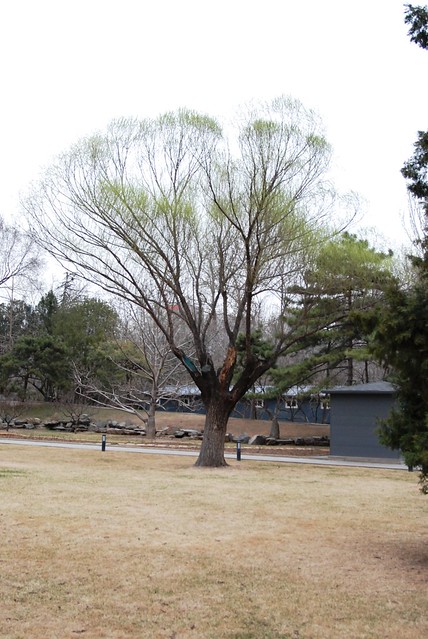
A glimpse of Beijing winter. Must say postcard kind of picture here

Mar120081 This is the popular Sun altar that we are talking about

Mar120065
One of the ancient trees in the park.

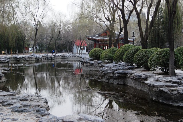
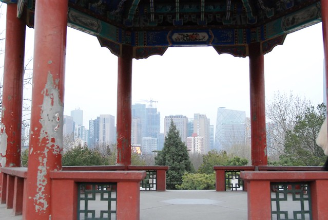
Mar120075 A pavilion overlooking the modern Beijing skyscrapers. A good blend between tradition and modernisation

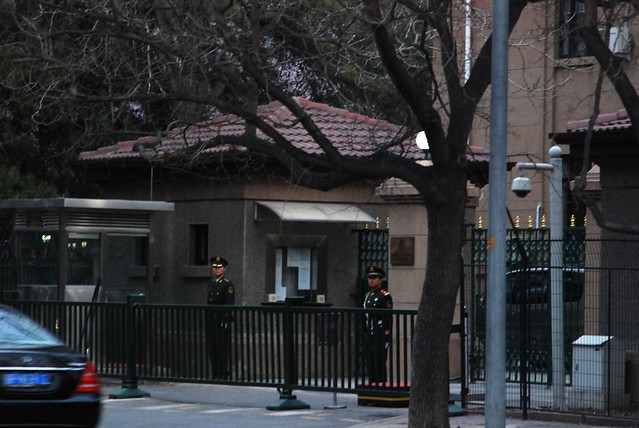
The park incidentally is just outside the foreign embassies hence the area is quite squeaky clean and neat

Mar120086 This is outside the Bulgarian embassy. Seems the guard is not quite happy that I am taking a picture.

Tiananmen Square

Ah, the ever famous Tiananmen Square that was made famous in 1989 when a student stood in front of the tanks from People's Liberation Army.

The Tiananmen Gate to the Forbidden City was built in 1415 during the Ming Dynasty. Towards the demise of the Ming Dynasty, heavy fighting between Li Zicheng and the early Qing emperors damaged (or perhaps destroyed) the gate. The Tian'anmen square was designed and built in 1651, and has since enlarged four times its original size in the 1950s.[1][2]
Near the centre of today's square, stood the "Great Ming Gate", the southern gate to the Imperial City, renamed "Great Qing Gate" during the Qing Dynasty, and "Gate of China" during the Republic of China era. Unlike the other gates in Beijing, such as the Tiananmen and the Qianmen, this was a purely ceremonial gateway, with three arches but no ramparts, similar in style to the ceremonial gateways found in the Ming Dynasty Tombs. This gate had a special status as the "Gate of the Nation", as can be seen from its successive names. It normally remained closed, except when the Emperor passed through. Commoner traffic was diverted to two side gates at the western and eastern ends of today's square, respectively. Because of this diversion in traffic, a busy marketplace, called Chessgrid Streets developed in the big, fenced square to the south of this gate.
British and French troops who invaded Beijing in 1860 pitched camp near the gate and briefly considered burning down the gate and the entire Forbidden City. They decided ultimately to spare the palace and to burn instead the emperor's Old Summer Palace
The main thing I first step down on this place is that the place is HUGE and full of tourists and thats only a weekday for you.

Mar120102 The long queue from out of towners waiting to catch a glimpse of Mao Zedong their beloved leader and founder of the Commuinist Party in China.

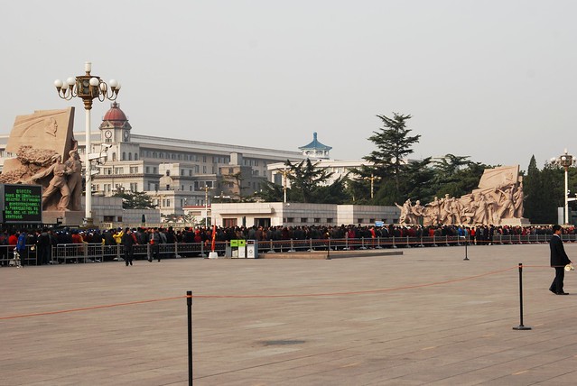
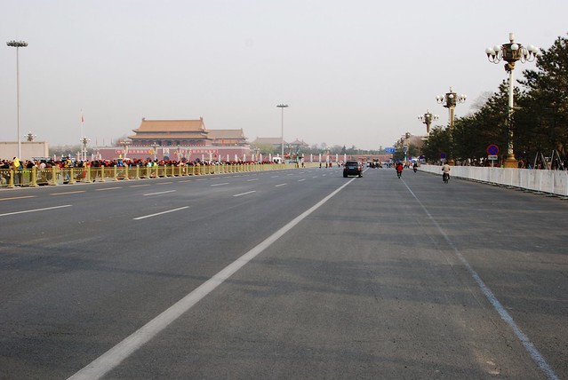
Mar120099 Everything is big in Beijing, from roads, to parks and squares !

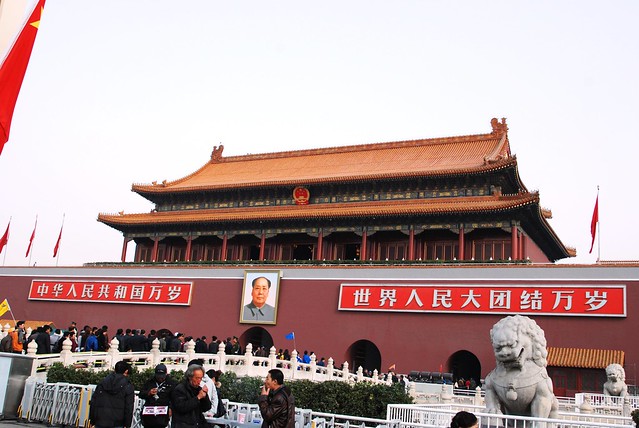
Mar120112 Of course, this scene is a 'must take' for anyone who visited Tiananmen Square

Sunday, July 15, 2012

ANZ 2011 (8) - Lake Tekapo to Christchurch

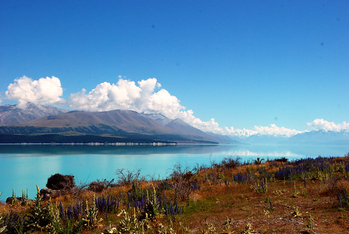
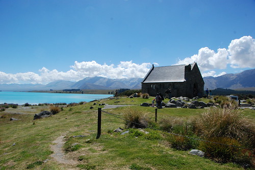
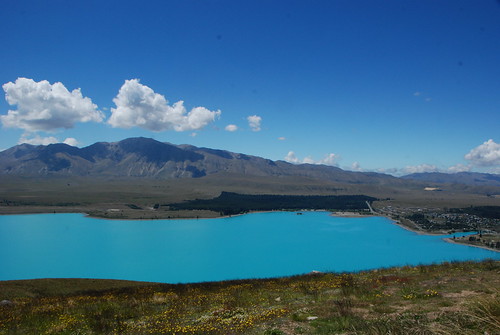
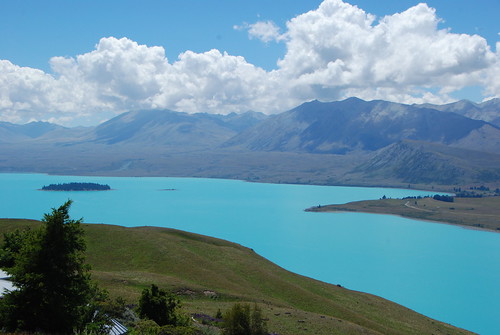
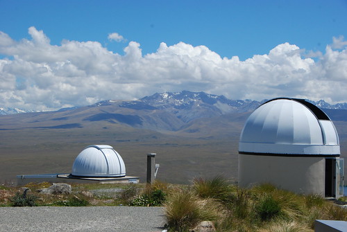
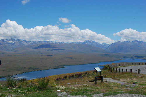
The last leg of the New Zealand Expedition 2011 revealed the most stunning view throughout the journey. We started early from Omarama knowing we have a lot to clear up to Christchurch. The first stop was Lake Tekapo, is probably one of the largest lake in the South Island. The unique feature of the lake is its torquoise blue colour water.Dec111393 The colour is created by "rock flour": the glaciers in the headwaters grind the rock into fine dust. These suspended particles in combination with the sunlight create Lake Tekapo's unique water colour Dec111412 The next stop is of course the Church of Good Shepherd. Situated on the shores of Lake Tekapo is the Church of the Good Shepherd, which, in 1935, was the first church built in the Mackenzie Basin. The church at Burkes Pass, St Patrick's built in 1872 was the first church built by pioneers as a joint community effort, by Anglicans Presbyterian and Catholic settlers. Also a joint venture between Presbyterians and Anglicans, St Columba in Fairlie was built in 1879. The church at Lake Tekapo was designed by Christchurch architect R.S.D. Harman, based on sketches by a local artist, Esther Hope. The church is arguably one of the most photographed in New Zealand, and features an altar window that frames stunning views of the lake and mountains. Onward after the visit to the Church, we went up to Mount John for a quick lunch. This is an incredible place as it allows a 360 degrees view around the Lake Tekapo region Dec111427 Dec111428 On the summit of Mount John is the University of Canterbury's astronomical observatory. During the day its domes can be seen from the Tekapo township. The mountain was chosen as the best observatory site in New Zealand because of its high number of clear nights throughout the year, the stability and transparency of the atmosphere and the uniquely dark skies in the Mackenzie Basin, devoid of city light pollution. It is internationally recognised as one of the best-situated observatories for viewing the southern night skies. For example, the Magellanic Clouds (satellite galaxies to our own Milky Way) can be seen continuously throughout the year. In addition, it is arguably one of the most beautifully placed observatories in the world, with the magnificent surroundings of glacial lakes and moraine, and the Southern Alps Dec111430 Dec111417 After lunch, we headed back to Christchurch to take a pit stop before we flew back to Sydney for a proper rest. Incidentally, another earthquake occurred at Christchurch 2 days after we left the city.
Saturday, June 16, 2012

ANZ 2011 (7) - Queenstown - Wanaka - Omarama

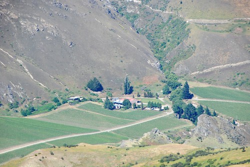
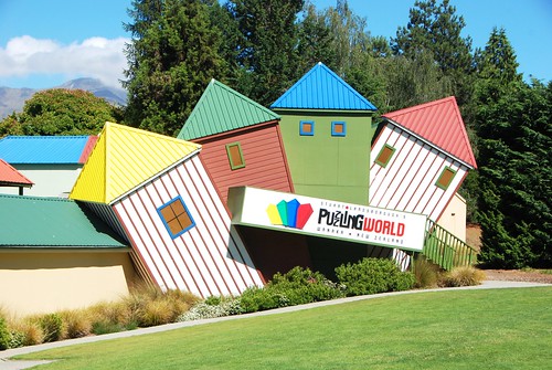
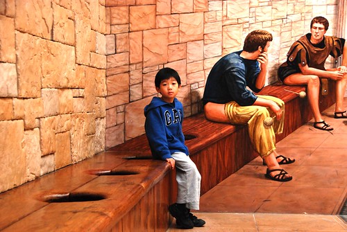
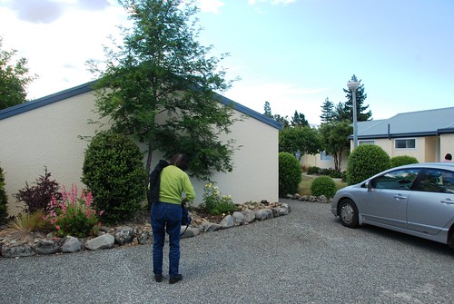
We left Queenstown heading for the Mount Cook region with the first major stop in Wanaka. To reach Wanaka, we have to drive pass the Crown Range in a zig zag manner before descending towards Wanaka. The Crown Range Road is the highest main road in New Zealand and offers some fascinating views. It is a shorter trip - 70km (44 miles) - than going through Cromwell, but don't allow less time as the travelling will be slower and you will want to stop to look at the views and take photographs. The road zigzags up to the Crown Terrace and from there you can look down to Arrowtown in the Arrow Valley, and across at the end of the Remarkables and the road to the Remarkables skifield. The road then climbs steeply to the summit - 1119,7 metres above sea level. From there you can see Frankton, part of Lake Wakatipu and Queenstown. For another impressive view walk up the track to the viewing point which opens up the view of the end of the Carrick Range sloping steeply down to the Kawarau Gorge Dec111336 This was taken on top from the Crown Range We finally hit Wanaka in time to visit the famous Puzzling World. Stuart Landsborough’s Puzzling World is a world unique attraction specialising in puzzling eccentricity. For over 35 years this remarkable business has entertained and amazed visitors of all ages attracted to this beautiful part of the world. Puzzling World offers the world’s first "3-D" Great Maze, incredible Illusion Rooms, a Puzzle Centre/Café, large Gift Shop, eccentric architecture and the intriguing Psychic Challenge. We went along the maze but gave up half way as everyone got hungry in time for lunch Dec111337 Dec111347 For lunch. We went to a place called Relish Cafe which is situated opposite the lake. Food for so so representing truly New Zealand deli food. Nevertheless, Wanaka is a refreshing scene after leaving Queenstown as it represents an unspoilt, tranquil small town of New Zealand whereas the latter is a bit too commercialised for our liking. After lunch, we drove straight to Omarama where we decide to make a pit stop. At first, we were apprehensive as its literally a one horse town. 2006 census shows only a population of 236!. Nevertheless, we were pleasantly surprised by the quality of the motel Dec111364 The scene of the one horse town - Omarama Dec111365 The motel we stayed in. Very cosy and nice

Tuesday, April 10, 2012

ANZ 2011 (6B) - Queenstown Proper

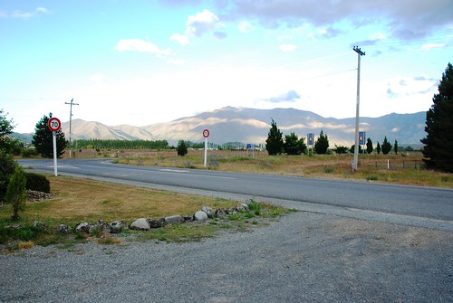
Queenstown apparently is the capital for adventures afterall it was here that bungee jumping was concocted.
The irony however, is that our vacation was accompanied by old folks and young kids making outdoor adventure almost impermissible. It also did not help where my dad did not feel too well.

Nevertheless, we focused on the activities that are suitable for family fun. Hence, here was the list of activities

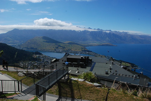
Skyline Gondola - Apparently this is a must see in Queenstown. At the peak, one can have a complete view of Queenstown and its surrounding area - a 220 degree panaroma as I understand

Dec111308 No doubt however that Jeremy was upset he could not go on to the go karting track on top of the skyline. I promised he would be allowed when he hits 10, much to his disappointment.

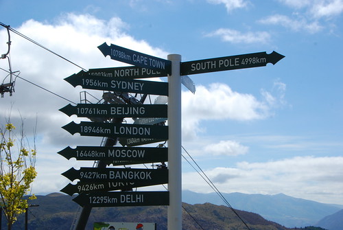
Dec111316 Distance of Queenstown from various parts of the world.

Arrowtown - Went to see the gold mining town off Queenstown. Apparently, there was a Chinese village that was preserved to show how the Chinese miners lived their lives in the 19th Century. Other than that, the one horse town is pretty clean and preserved as if the clock froze in the 19th century.

Dec111331


Dec111285 Jeremy somehow did not find NZ that pleasant. he felt sick after TeAnau and as you can see here where the picture was taken at a cafe in Queenstown, he certainly did look fatigue and tired. Lesson learnt is the vacation cannot be too long if you have young children. 10 days is max. And also, it would not help the cause if its a scenic vacation tour in which they will find it hard to appreciate at their age.

Friday, March 23, 2012

ANZ 2011 (6A) - TeAnau to Queenstown 17 to 19 December 2011

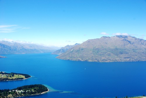
After TeAnau, I believe the scenic route improves tremendously. This is especially so after we reach Kingston which is located at the most Southern tip of Lake Wakatipu
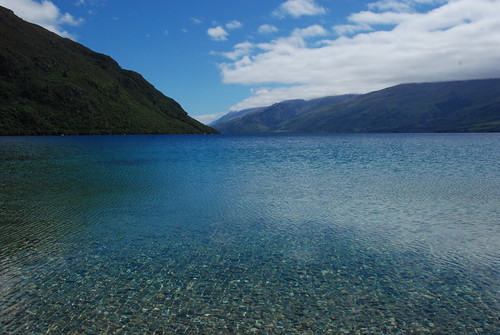
Dec111264 The crystal clear water of the Lake epitomes the unspoilt landscape of the South Island.

Dec111270 Jeremy here has to settle for a 'rock structure' instead of a sand castle. Geography teacher grandma has to explain to Lil Jeremy why there is no sand as this is a lake not a beach along the sea/ocean!

After Kingston, the road leading to Queenstown 'played' along the shorelines of Lake Wakatipu which translates into excellent scenic picture facing the windscreen of the Hyundai Styrax. Dec111274

Once hit Queenstown, the immediate feel is that as if its like a homecoming experience ie back to civilisation ! Apparently, the town is built around an inlet called Queenstown Bay on Lake Wakatipu, a long thin Z-shaped lake formed by glacial processes, and has spectacular views of nearby mountains.
The excellent view can be seen best via Skyline Queenstown

Dec111327

Sunday, February 26, 2012

ANZ 2011 (5) - TeAnau and Milford Sound : 17 December 2011

The whole reason for a stop to TeAnau is simply that it lies in the border to the Fiordland National Park and is a starting point for a trip to Milford Sound.

Dec111248 Here you can see the serenity of Lake TeAnau, with a couple of yacht in a distance depicting the relaxing lifestyle of the town.

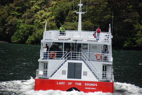
We started our bus journey via State Highway 94 to Milford Sound. While Milford Sound is supposedly the star attraction, the trip itself has numerous scenic stops.
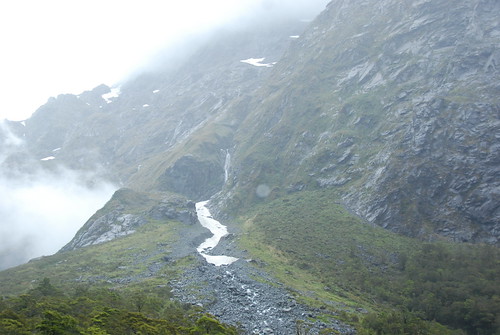
Dec111148 Even though it summer, the mountain range leading to Milford Sound does not indicate to be so.

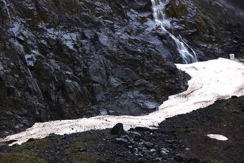
Dec111154 Mini glaciers

OK, what is actually Milford Sound? Milford Sound is named after Milford Haven in Wales, while the Cleddau River which flows into the sound is also named for its Welsh namesake. The Māori named the sound Piopiotahi after the thrush-like piopio bird, now extinct. Piopiotahi means "a single piopio", harking back to the legend of Māui trying to win immortality for mankind - when Maui died in the attempt, a piopio was said to have flown here in mourning.

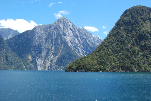
Milford Sound runs 15 kilometres inland from the Tasman Sea at Dale Point - the mouth of the fiord - and is surrounded by sheer rock faces that rise 1,200 metres (3,900 ft) or more on either side.
Dec111195

Dec111217

Dec111213

Personally, I thought Milford Sound is over-hypped. The scenery is beautiful but fell short of my expectations. Having said that, I must say the place is indeed tranquil save for being over inhibhited by tourists like us !

We reached back to TeAnau late afternoon at the back of sunburn that hit Jeremy. Resulting from that, he had fever over the evening. Luckily it disappeared the following day.

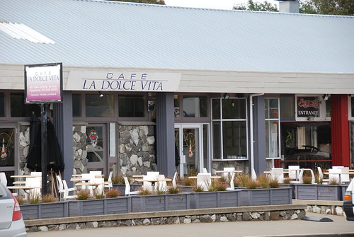
One thing that is memorable in TeAnau is the dinner we had in Cafe La Dolce Vita. It was the best Western meal we had during the trip. Apparently, its opened by an Italian who actually have fallen in love with New Zealand.

Dec111252

The grilled salmon is a must try while the Penne Ariabata was cooked with perfection; the pasta was not too hard and there was 'generous' enough gravy to cover the plate. Excellent eating place once again!

Sunday, January 29, 2012

ANZ 2011 (4) - Dunedin - Invercargill - TeAnau 16 December 2011

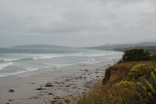
From Dunedin, we attempted the scenic route via Kaka Point. South of Dunedin, the unparalleled beauty of the Catlins Coast supposedly is widely heralded. The Catlins boasts an untouched coastline, some great surf beaches, forest and coastal walks, penguins, seals and pelagic birds aplenty. Dec111120. Instead what we found was winding road where Jeremy actually threw up, very little animals sighted and a very very harsh Antartic wind. Resulting from the scenic route, the ride to Invercargill took longer than expected reaching the town at 2pm for a late lunch.

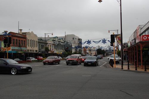
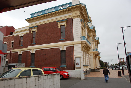
Invercargill is the southernmost and westernmost city in New Zealand, and one of the southernmost cities in the world. It is the commercial centre of the Southland region. It lies in the heart of the wide expanse of the Southland Plains on the Oreti or New River some 18 km north of Bluff, which is the southernmost town in the South Island. My first impression of the town is that it seems to be frozen in the 50s period. The weather was harsh by summer standards, one can imagine what it would be like during the winter period.Dec111126 Dec111128 One thing I can say now is that I have been to one of the most southernest town in the world !.

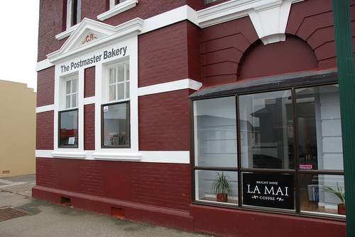
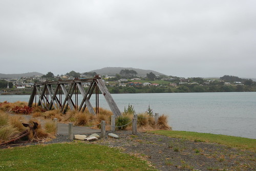
After Invercargill, we manage to do a pit stop at Riverton for coffee. The small but friendly town of Riverton is known for its excellent surf conditions, its artistic residents and its giant paua shell! Popular over the summer months, Riverton is a great place for a relaxing few days of poking about in the local galleries and enjoying the coastal views. Knowing we were foreigners, the cafe owners were very hospitable providing complementary drinks for the children. Dec111134. The cafe even boast they sourced their coffee beans from La Mai coffee.

The background and website on Lamai coffee can be found here. http://www.lamai.co.nz/
Again you can see the steep Christian tradition in these small towns.

Dec111129

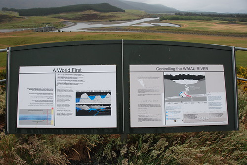
On the way to Te Anau, we have get pass this place called Lake Manapouri. It is a key feature in the generation of New Zealand's power supply throughout the South Island

Dec111135

Finally we reach TeAnau at 6pm. TeAnau is normally the platform for tourists to go to Milford Sound

Sunday, January 08, 2012

ANZ 2011 (3) - Timaru - Oamaru - Dunedin 15 December 2011

We left Christchurch at around 9am with the view of perching at Dunedin by the end of the day.

Our first stop would be Timaru for lunch. Between Timaru and Christchurch is laid with sheep farm land. The Canterbury plains indeed reminds one of the typical English countryside.

TIMARU

Timaru has been constructed on rolling hills created from the lava flows of the extinct Mt Horrible volcano, which last erupted many thousands of years ago. The result is that most of the main streets are undulating, a clear contrast with the flat landscape of the Canterbury Plains to the north. This volcanic rock is used for the construction of local "bluestone" buildings.

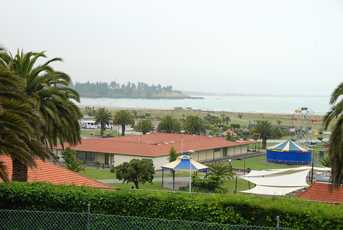
Caroline Bay beach is a popular recreational area located close to Timaru's town centre, just to the north of the substantial port facilities. Beyond Caroline Bay, lies the town centre; a very nice place for shopping. Dec111074

After much look around, we decided to pounce on Fusion Restaurant at 64 Bay Hill simply we saw that it has been awarded with some prizes on quality food. Initially we wanted to go to Monteith next door as recommended by Lonely Planet and we were glad we did not go as its mainly pub which not necessary suitable for the kids. I must say, it was one of the best western meal we had during the trip. Dec111077

OAMARU

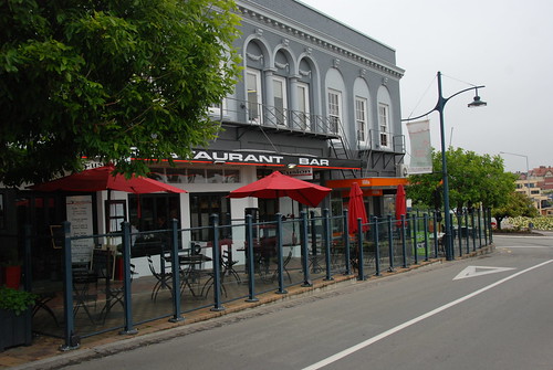
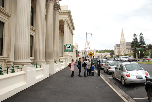
Oamaru was kinda different from Timaru in a sense that it is more Victorian than the latter. It just gave me the impression that the town had its heyday during the Victorian Age through to the first 20 years of the last century.

We had coffee at the Steam as recommended by Lonely Planet. However, it fell below our expectations as its relativlely average as compared to other places.

Another disappointment is the Blue Penguin sanctuary. The sanctuary is very sparse and can hardly see any penguins around. I personally think it was a cutthroat.

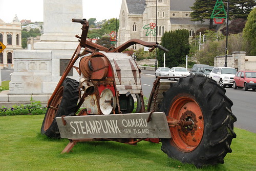
Having said that, one think I learnt from Oamaru is the existence of Steampunk.Steampunk is a sub-genre of science fiction, fantasy, alternate history, and speculative fiction that came into prominence during the 1980s and early 1990s.[1] Steampunk involves a setting where steam power is still widely used—usually Victorian era Britain or "Wild West"-era United States—that incorporates elements of either science fiction or fantasy. Works of steampunk often feature anachronistic technology, or futuristic innovations as Victorians might have envisioned them, based on a Victorian perspective on fashion, culture, architectural style, art, etc. This technology includes such fictional machines as those found in the works of H. G. Wells and Jules Verne, or the contemporary authors Philip Pullman, Scott Westerfeld and China Mieville.

Dec111086 The gang walking around the historical area within Oamaru

Dec111085 Some Steampunk exhibits

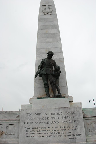
Dec111104Reminiscence of a World War I memorial

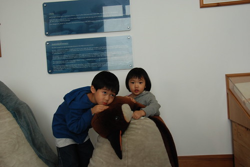
Dec111106 The main 'highlight' at the Penguin Sanctuary

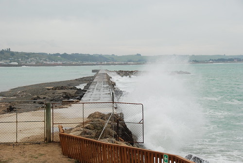
Dec111108Indication of the harsh Antartic weather

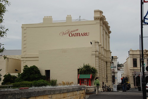
Dec111100 Another historical building at Oamaru